RiskWise™ · L1 Capture

Field Gauge

Measured fuel at the plot — measure-only field capture that never sets the score.

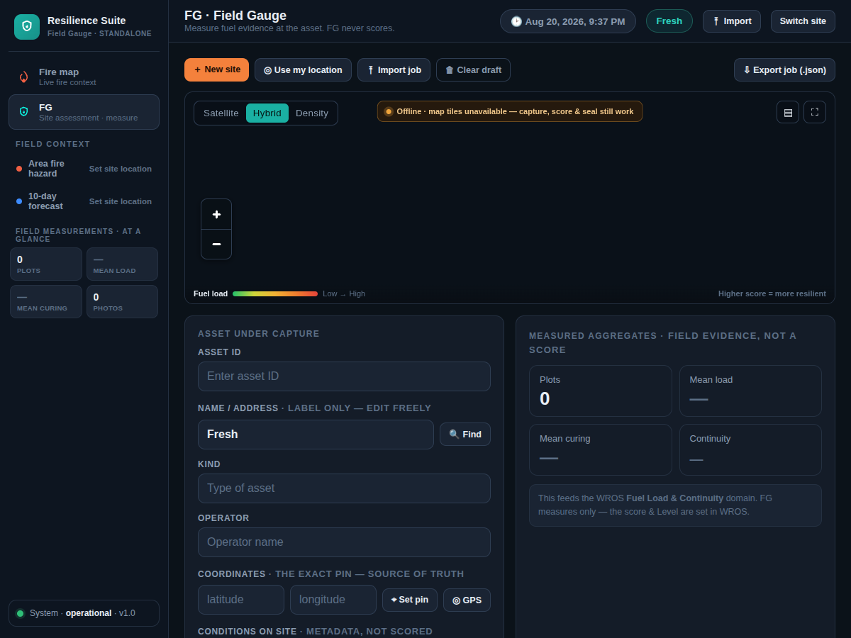
Field Gauge app — asset capture, map, and measurement summary

Field Gauge field console (of-record UI).

What it is for

Field Gauge is High Plains Shield’s plot-level physical measurement surface — L1 Measured Fuel in the RiskWise stack. It captures what is on the ground under a fixed protocol so downstream tools can score, seal, classify, and value without re-keying.

Methodology

  1. Stand up the job on device and create job_no for the site.
  2. Lay out zones Z1–Z4; unknown zone synonyms map carefully — unknown becomes provisional, never a silent default.
  3. Capture plots under fixed-area sampling (e.g. 0.25 m² frame); record curing; flag measured vs estimate; attach photos.
  4. Oven-dry measured plots to constant mass; fuel load = oven-dry mass ÷ frame area → tons/acre.
  5. Export structured job JSON and field-capture CSV.
  6. Handoff to WROS — job_no and zones ride unchanged; Field Gauge does not invent the Evidence Vault seal.
Year-1 honesty. Year 1 is the measured baseline file — not a ranking chip. Field Gauge is how that baseline is earned.

What results / what to expect

Results are not a score. Field Gauge delivers the structured job record and CSV — not a resilience score, Level recommendation, Evidence Vault, TrueFuel verdict, or VALOR ranking. Those are downstream.